- English
- Türkçe
Languages:
This site is created using Wikimapia data. Wikimapia is an open-content collaborative map project contributed by volunteers around the world. It contains information about 32531081 places and counting.
Learn more about Wikimapia and cityguides.
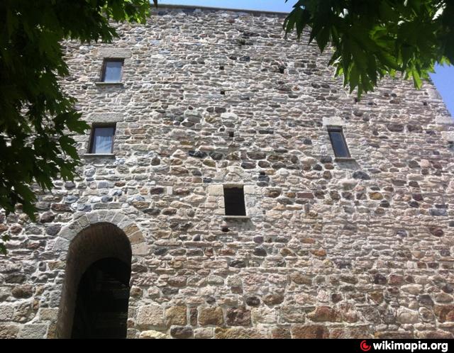
Uskumruköy
Uskumruköy Village, Sarıyer District.
Wikipedia article: http://en.wikipedia.org/wiki/Uskumruköy
Uskumruköy on the map.